I’m excited to share an “AI for good” story in today’s Eye on AI: Imagine if conservation groups, scientists, and local governments could easily use AI to take on challenges like deforestation, crop failure, or wildfire risk, with no AI expertise at all.
Early partners are already putting OlmoEarth to work: In Kenya, researchers are mapping crops to help farmers and officials strengthen food security. In the Amazon, conservationists are spotting deforestation in near real time. And in mangrove regions, early tests show 97% accuracy—cutting processing time in half and helping governments act faster to protect fragile coastlines.
I spoke with Patrick Beukema, who heads the Ai2 team that built OlmoEarth, a project that kicked off earlier this year. Beukema said the goal was to go beyond just releasing a powerful model. Many organizations struggle to connect raw satellite and sensor data into usable AI systems, so Ai2 built OlmoEarth as a full, end-to-end platform.
“Organizations find it extremely challenging to build the pipelines from all these satellites and sensors, just even basic things are very difficult to do–a model might need to connect to 40 different channels from three different satellites,” he explained. “We’re just trying to democratize access for these organizations who work on these really important problems and super important missions–we think that technology should basically be publicly available and easy to use.”
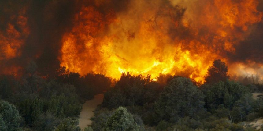
One concrete example Beukema gave me was around assessing wildfire risk. A key variable in wildfire risk assessment is how wet the forest is, since that determines how flammable it is. “Currently, what people do is go out into the forest and collect sticks or logs and weigh them pre-and-post dehydrating them, to get one single measurement of how wet it is at the location,” he said. “Park rangers do this work, but it’s extremely expensive and arduous to do.”
With OlmoEarth, AI can now estimate that forest moisture from space: The team trained the model using years of expert field data from forest and wildfire managers, pairing those ground measurements with satellite observations from dozens of channels—including radar, infrared, and optical imagery. Over time, the model learned to predict how wet or dry an area is just by analyzing that mix of signals.
Once trained, it can continuously map moisture levels across entire regions, updating as new satellite data arrives—and do it millions of times more cheaply than traditional methods. The result: near real-time wildfire-risk maps that can help planners and rangers act faster.
“Hopefully this helps the folks on the front lines doing this important work,” said Beukema. “That’s our goal.”
With that, here’s more AI news.


